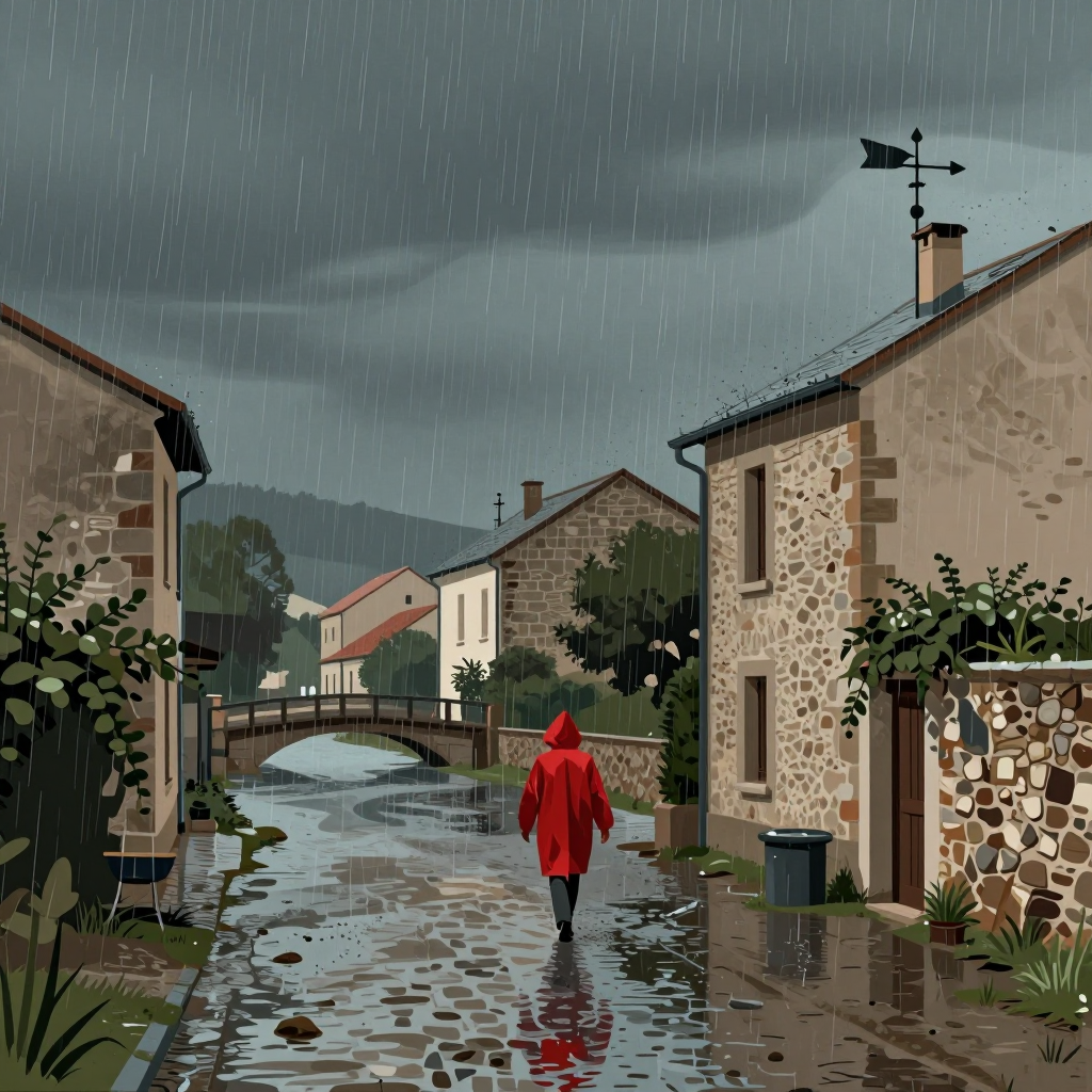
After a period of dry weather, heavy rains have begun in southern France, prompting flood warnings in the Gard and Hérault departments starting Tuesday. These regions are now on orange alert for flooding, with the risk of watercourses becoming saturated due to episodes of heavy rainfall continuing into Wednesday. Météo-France forecasts that rainfall in the Cévennes region will be particularly intense, with up to 50 to 80 mm of rain possible in one hour. Over the course of the event, totals could reach 200 to 250 mm, or even up to 300 mm in some areas. On Wednesday, Lozère, Gard, Hérault, and Ardèche departments are on orange alert for both flooding and thunderstorms, according to the latest forecast. Thunderstorms forming over the Cévennes on Tuesday are expected to intensify significantly during the night of Tuesday to Wednesday, extending into the plains of Hérault and Gard. A large central part of France will also face a yellow thunderstorm alert, stretching from Hauts-de-France to Occitanie.
The Gard and Hérault departments have been placed on orange flood alert starting Tuesday afternoon, with four southern departments under alerts for heavy rain, flooding, and thunderstorms beginning this night. A Mediterranean weather event is expected to impact the Cévennes during the night of Tuesday to Wednesday, bringing heavy rainfall, according to Météo-France. The event is already affecting Lozère, Gard, Hérault, and Ardèche, which have been placed on orange alert due to the risk of heavy rain, flooding, and thunderstorms, announced Météo-France on Tuesday at 4 p.m. This alert will remain active through the night of Tuesday to Wednesday. Météo-France warns that thunderstorms and heavy rainfall will initially hit the Cévennes and then spread to the plains, qualifying the event as a Mediterranean weather episode. The Gard and Hérault departments are now on orange flood alert starting Tuesday afternoon. If the rainfall in the Cévennes is more intense or prolonged than anticipated, Météo-France says the alert could be upgraded to red. Rainfall intensities in the Cévennes could reach 50 to 80 mm per hour, with totals for the event reaching 200 to 300 mm, or even 350 mm in some areas.
In the Gard department, the prefecture has decided to suspend all school transportation for the entire day of Wednesday, announcing the decision in a statement. The prefecture emphasized the risks of flooding in several watercourses. In Hérault, the prefecture warned against "very intense thunderstorms" on Wednesday and reminded the public to avoid travel, not go into basements, stay away from watercourses, and avoid walking or driving on flooded roads. The first Mediterranean weather event of the season is expected to occur on Wednesday. Météo-France has placed Lozère, Gard, Ardèche, and Hérault departments on orange alert for heavy rain, flooding, and thunderstorms starting Wednesday night. Christelle Robert, a meteorologist at Météo-France, explained during a press conference on Tuesday that the rains will intensify during the night and the event will strengthen on Wednesday, continuing throughout the day. She said to expect significant rainfall accumulation in a short time, which qualifies the event as a Mediterranean episode rather than just a Cévennes episode. Rainfall intensities will be particularly marked in the Cévennes, with totals possibly reaching 250 to 350 mm. In the plains, 80 to 130 mm are expected, or even 200 mm in some areas within the triangle between Nîmes, Alès, and Montpellier. This Mediterranean event will be felt in the Rhône valley, particularly in the Ardèche.
Météo-France has placed the departments of Gard and Hérault under red alert for "rain-flood" starting at 8 a.m. on Wednesday, September 30. The Bouches-du-Rhône department is also placed under an orange alert, as are the Ardèche and Lozère departments. The thunderstorm episode has intensified since this Wednesday morning in the Cévennes region, particularly in the departments of Ardèche, Gard, and Hérault. It could affect the Bouches-du-Rhône more intensely starting on Thursday. The rains have intensified during the night and will continue until the end of the morning. Météo-France expects possible accumulations of "50 to 80 millimeters per hour." "As for the accumulations over the episode, they will approach 200 to 250 millimeters, or even locally 350 millimeters." The Hérault department gained 2.20 meters in two hours. Since this night, these departments have been hit by the first Mediterranean episode of the season. In a few hours, nearly two months of rain fell in Moulès-et-Baucels (Hérault), with an accumulation of 140 liters of water per square meter. 70 to 100 millimeters of rain were recorded from Pic Saint-Loup to the Viganais Cévennes. As a result of these intense and continuous rains, the region's watercourses are beginning to react, seeing their levels rise. The Hérault River, in particular, rose by 2.20 meters in two hours at the commune of Laroque. According to Vigicrues, the episode will continue at least until Thursday, shifting towards the southeast.
Heavy Rain and Flood Alerts Across Southern France Departments
AI-rewritten from original reportingHow it works

mediterranean-episodefloodingweather-alertclimate-changefrance-weathersouth-france
Original sources:
- 🇫🇷20 Minutes
- 🇫🇷France Info
- 🇫🇷BFMTV
- 🇫🇷France Info
- 🇫🇷Le Figaro
- 🇫🇷Le Café pédagogique
- 🇫🇷BFMTV
- 🇫🇷France Info
- 🇫🇷BFMTV
- 🇫🇷20 Minutes
- 🇫🇷France Info
- 🇫🇷Ouest-France
- 🇫🇷BFMTV
- 🇫🇷20 Minutes
- 🇫🇷BFMTV
- 🇫🇷BFMTV
- 🇫🇷20 Minutes
- 🇫🇷Le Figaro
- 🇫🇷France Info
- 🇫🇷Ouest-France
- 🇫🇷Numerama
- 🇫🇷France Info
- 🇫🇷Ouest-France
- 🇫🇷France Info
- 🇫🇷France Info
- 🇫🇷Ouest-France