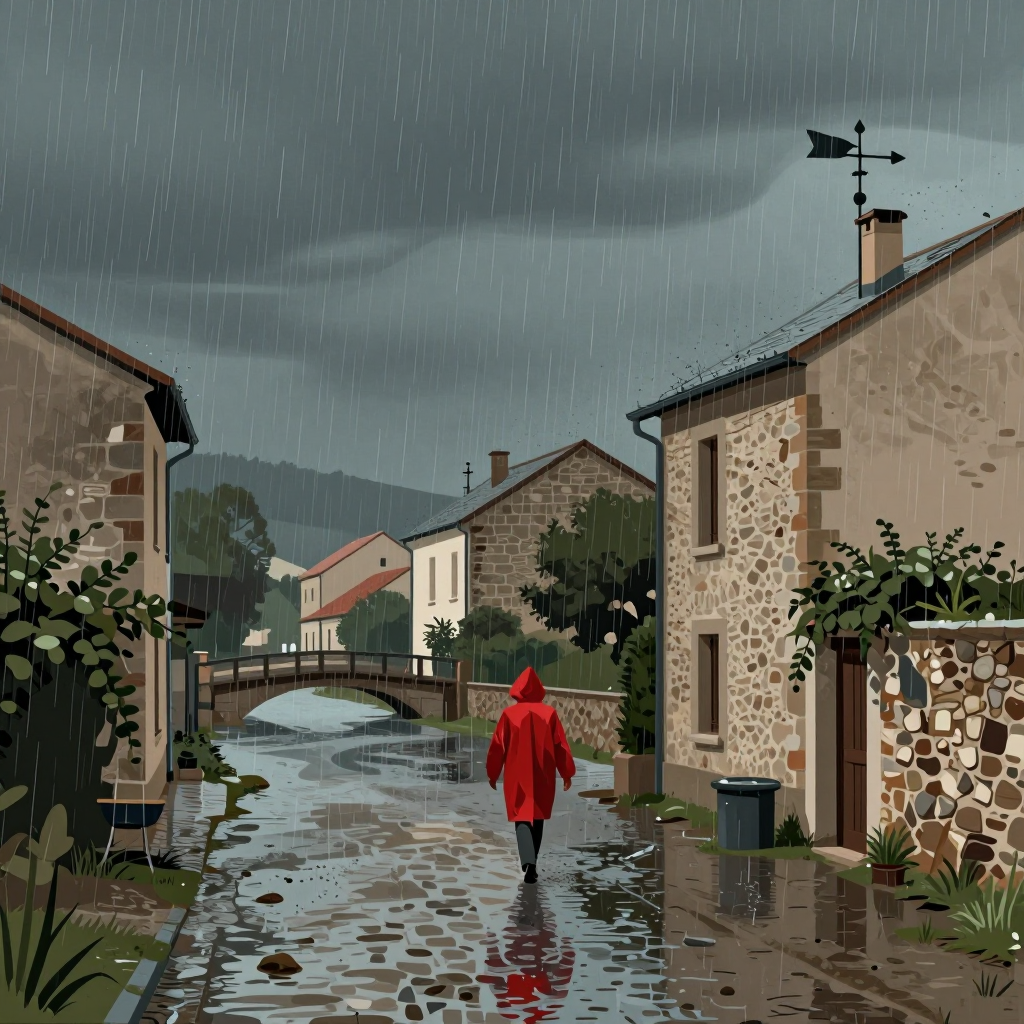
In September 2020, the town of Valleraugue in the Gard department of southern France experienced an extraordinary downpour, receiving 500 mm of rain in just 12 hours. According to Météo-France, this type of rainfall is characteristic of a "Mediterranean episode," a phenomenon where large amounts of precipitation—equivalent to several months of rain—fall in a short period. This intense rain was drawn from the sea, where people had swum weeks earlier. In fact, 500 mm of rain equates to 500 liters of water per square meter, or about 500 kilograms—roughly the weight of three full bathtubs per square meter.
Mediterranean episodes are becoming more frequent, with Météo-France noting that they now occur twice as often as they did in 1960. These events typically strike the southeast of France three to six times per year, peaking from September to mid-December. During this time, the Mediterranean Sea remains warm, leading to significant evaporation and the creation of a reservoir of humid air. This air is then drawn into autumn storms, resulting in heavy rainfall. A specialist cited by franceinfo explains that these episodes are also influenced by cold air at higher altitudes, which interacts with the warm, moist air coming from the sea, creating conditions for intense thunderstorms and heavy rain.
The water from these episodes doesn't come from nowhere. The Mediterranean Sea, which is around 26 to 28 °C in late summer—considered pleasant in August—serves as a major source of moisture. When this warm, humid air meets cooler air at higher altitudes, it rises and cools, causing the water vapor to condense into rain. In regions like the Cévennes or Ardèche, the mountainous terrain acts like a wringer, squeezing out the moisture from the air. This process leads to the heavy rainfall seen during Mediterranean episodes.
The frequency of these episodes has increased over time. In October 2024, the Ardèche region received nearly 700 mm of rain in 60 hours, which is equivalent to more than 700 liters per square meter over two and a half days. The 2026 season has already begun, with a first episode striking the Southeast between September 29 and October 1, bringing violent thunderstorms, heavy rains, and floods. The Gard department, along with 14 other coastal departments, is among the most exposed to these events. As the season continues until mid-December, the Mediterranean Sea has not yet cooled enough to reduce the risk of such episodes. Météo-France warns that water levels can rise by more than a meter in just a few minutes during these events. Checking the vigilance map on the Météo-France website takes only 10 seconds and can help people prepare for sudden changes in weather conditions.
Mediterranean Rainfall Episodes Intensify in Southeast France
AI-rewritten from original reportingHow it works
mediterranean-rainextreme-weatherclimate-changefranceprecipitation


